THE TIDE STONE

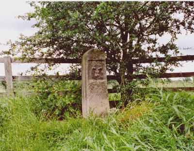
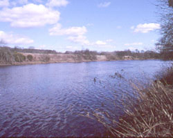
The tide stone marked the tidal limit of the river before it moved further upstream to Wylam about 1900 as a result of dredging between Newburn and Ryton. Hedwin Streams west of Newburn and opposite Ryton was the limit from at least the medieval period and this was also the boundary of the Tyne Improvement Commission's jursdiction on the river. In the late nineteenth century the riverbed was dredged betweeen Newburn and Ryton and because the channel gradient was then steeper further erosion resulted due to the river's increased power moving down its steeper course. The old limit is marked by a 1 metre high stone obelisk bearing three castles, the Arms of Newcastle upon Tyne and the date 1783 and is called the tide stone. It is situated on the north side of the riverside footpath about halfway between Newburn and Wylam.
- Constructed - 1783
- Position: about midway between Newburn and Wylam, Northumberland on north side riverbank footpath.
- Grid Ref: NZ 143 654

