WEARHEAD TO KILLHOPE HEAD

"The roads over the hills going south from Blanchland and Edmundbyers meet a few miles before the descent into Weardale and the ancient village of Stanhope, ten miles downstream from the source of the river. Upper Weardale is splendid walking country, abounding in burns and small waterfalls, called 'linns' here as in Northumberland. Both the Harthope and Killhope burns are fascinating places to explore, particularly for the rock formations at Burtreeford Dyke and the old crushing mill at Killhope with its huge waterwheel, one of the great relics of the lead mining which once brought prosperity to these hills."
The Companion Guide To Northumbria. Edward Grierson. 1976.
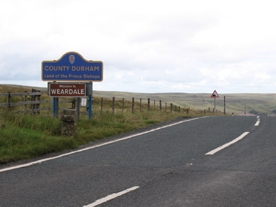
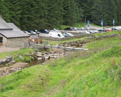
Up to the source of the Killhope Burn, the largest of the two tributaries forming the Wear, the road climbs high from Wearhead to Cowshill, the last village of the valley and the landscape becomes increasingly desolate and wild. The river runs far below the road and the bridges are minor, small and short. At Killhope, deep in fomer lead-mining country, the old mine is preserved as a tourist attraction. Beyond here the road continues its climb up to the summit at the border with Northumberland and Cumbria near Killhope Cross, where the road begins its descent to Nenthead and Alston. The sense of isolation is very strong,even in summer and traffic is generally sparse. The views are extensive and panoramic.
Little information is available about the bridges on this river. Many are reached by descending the side of the steep valley to the south of the road.
- Westfall Bridge - not known
- Burtree Ford Bridge - not known
- Burtree Ford Footbridge - not known
- Bell's Bridge - not known
- Low Allers Bridge - not known
- Heathery Bridge - not known
- Lanehead Footbridge - not known
- Killhopeburn Bridge - not known
- Weardale Estate Bridge - not known
- Killhope Mine Bridge - not known Killhopehead Bridge - not known

